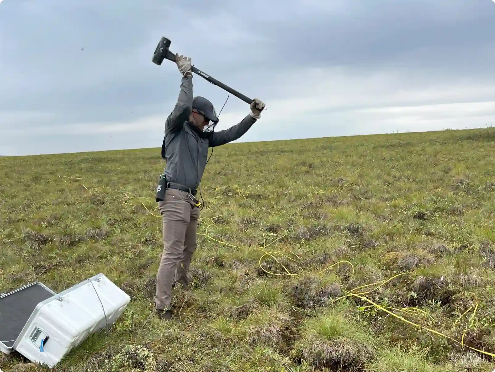
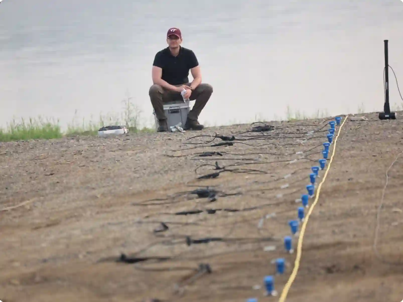
We work on developing images of the earth's subsurface for engineering applications.
We use measurements made at the ground surface to infer the soil and rock beneath the ground surface.
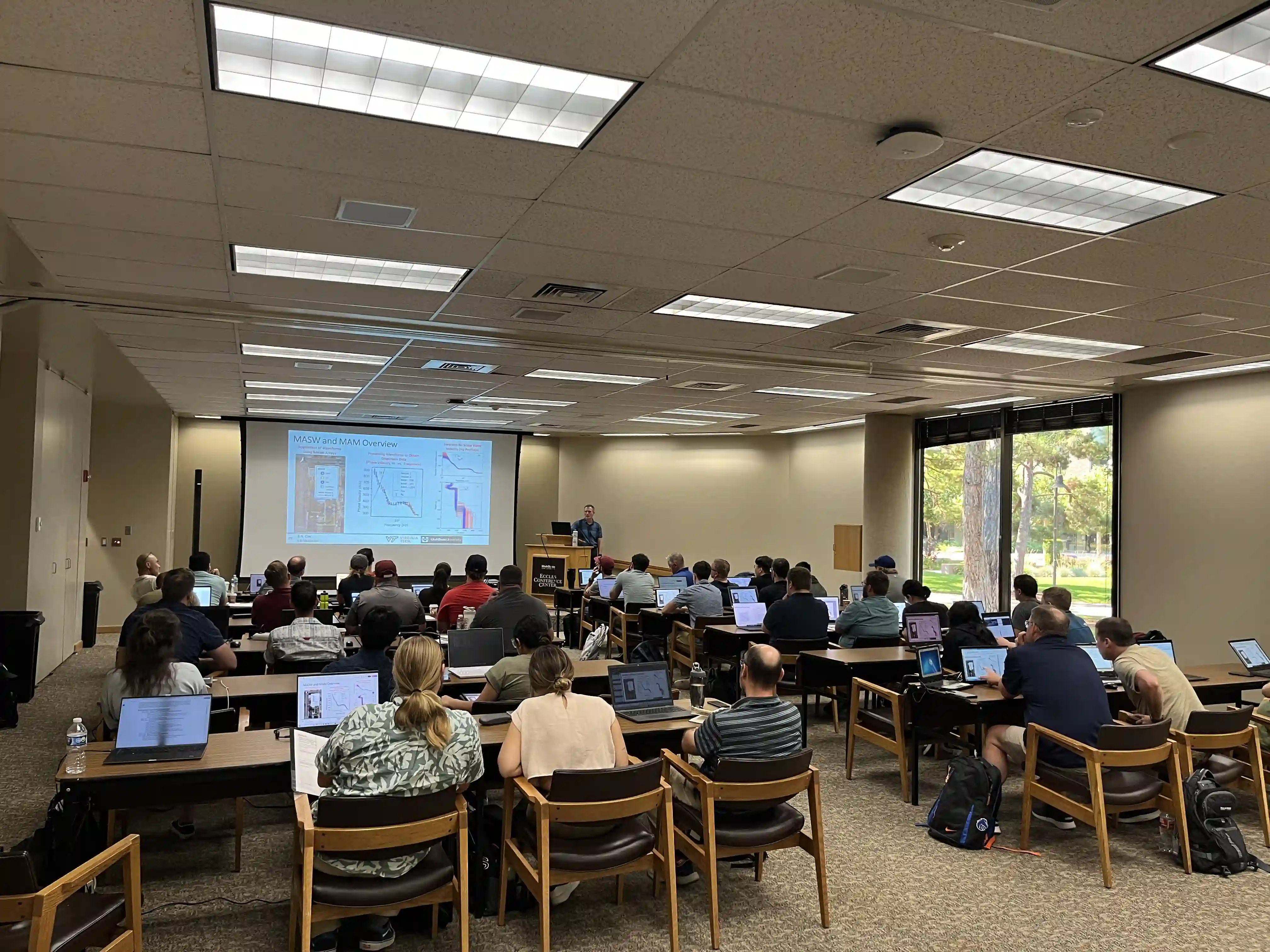
Our measurements of subsurface properties in 1D/2D/3D provide early information about a site that informs subsequent investigations, design, and construction.
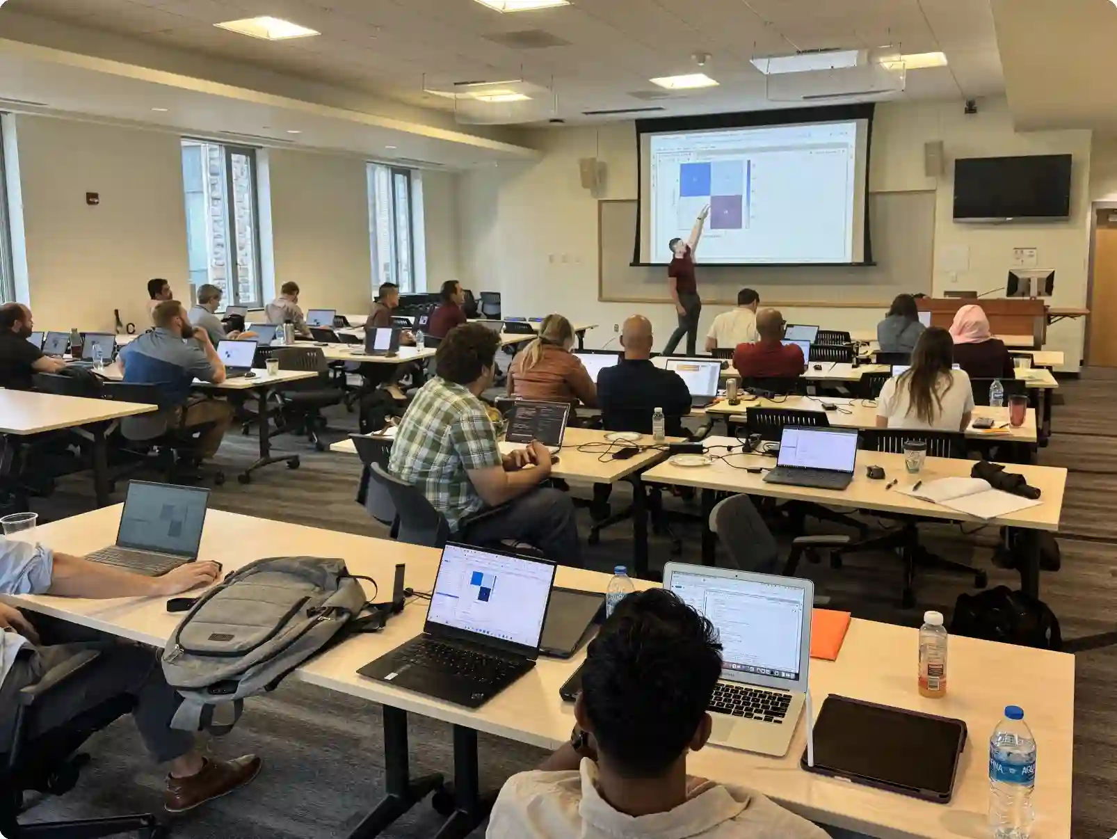
Our work is situated at the intersection of geotechnical engineering, geophysics, and computer science.
We use tools from data science, software engineering, and scientific computing to image the ground and provide value to geotechnical projects.